
Invicta UAS
Reliable Aerial Data. Mission-Critical Results.
About Invicta UAS
Invicta UAS is a professional drone services company specializing in aerial inspections, thermal imaging, and data-driven mapping solutions for commercial and industrial clients. We deliver fast, accurate, and actionable aerial data that helps organizations reduce risk, improve decision-making, and eliminate the need for costly or dangerous manual inspections. Founded on a foundation of aviation discipline, safety, and real-world operational experience, Invicta brings a level of professionalism and risk awareness that sets us apart in the industry.
As a veteran-owned company with extensive background in aircraft maintenance, safety programs, and mishap response, we don't just capture images—we deliver reliable data and insights clients can act on with confidence. Our target audience includes telecommunications companies, construction firms, real estate professionals, utility providers, insurance adjusters, and government or public safety organizations. We are positioned as an aerial data and inspection partner focused on delivering high-quality results, clear reporting, and dependable service that scales with client needs.
Our Services
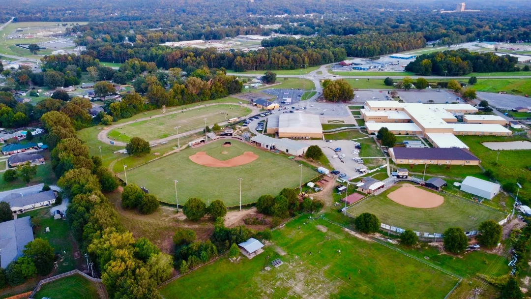
Aerial Inspections
Comprehensive aerial inspections of buildings, roofs, and structures. We provide detailed assessments that identify damage, wear, and maintenance needs without the risk and cost of manual inspections.
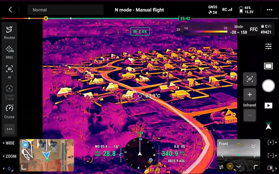
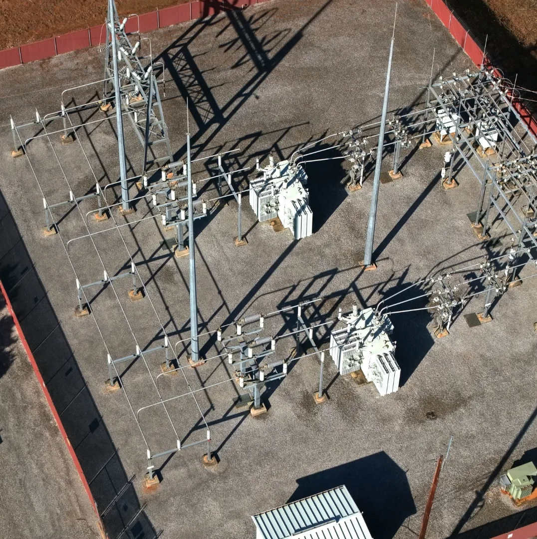
Thermal Imaging & Diagnostics
Advanced thermal imaging services for electrical systems, roofing, and solar installations. Detect heat anomalies, equipment failures, and energy inefficiencies with precision thermal data analysis.
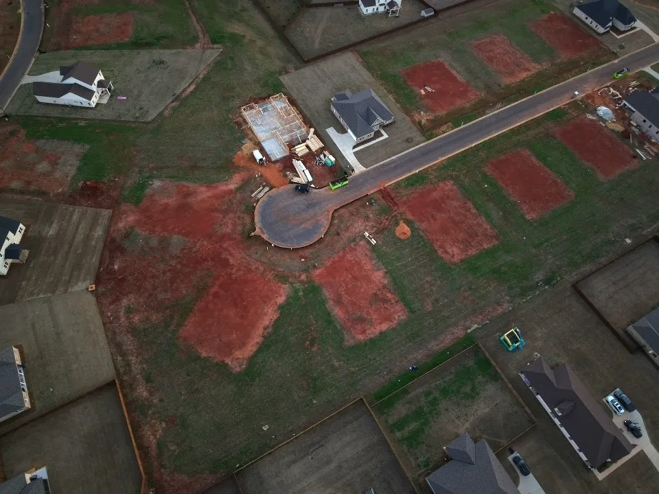
Mapping & Data Solutions
Professional mapping and 3D modeling solutions for construction, land analysis, and site documentation. Deliver accurate spatial data that supports planning, analysis, and decision-making across your projects.